Sand Box
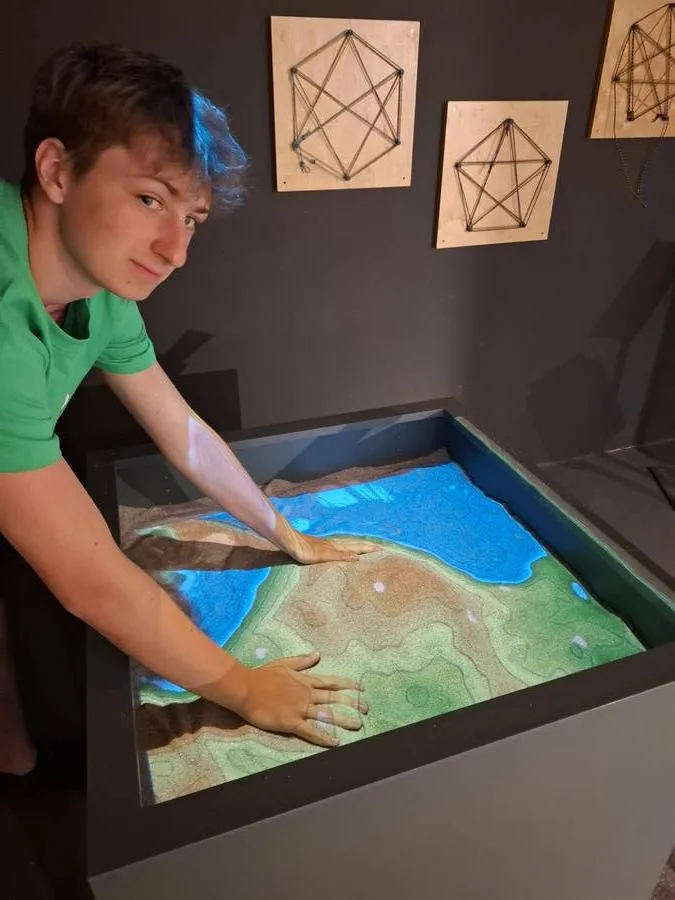
Shape landscapes with your hands!
Shape mountains and valleys in the sand. A depth camera uses the surface to calculate a digital terrain model in real time, complete with colors and contour lines.
The Science Behind It
A depth camera is mounted above the sand. It emits invisible infrared light and measures how long it takes to bounce back from the sand. This allows the system to determine the exact height of the surface. A computer calculates a digital elevation model in real time. Each height is assigned a color, much like on real topographic maps. Contour lines are also displayed to connect points at the same elevation. A projector then casts this calculated image directly onto the sand. The result is an augmented-reality landscape that changes immediately when you move the sand. The exhibit shows how digital models can be linked with the real world—a principle also used in geography, simulations, and computer games.